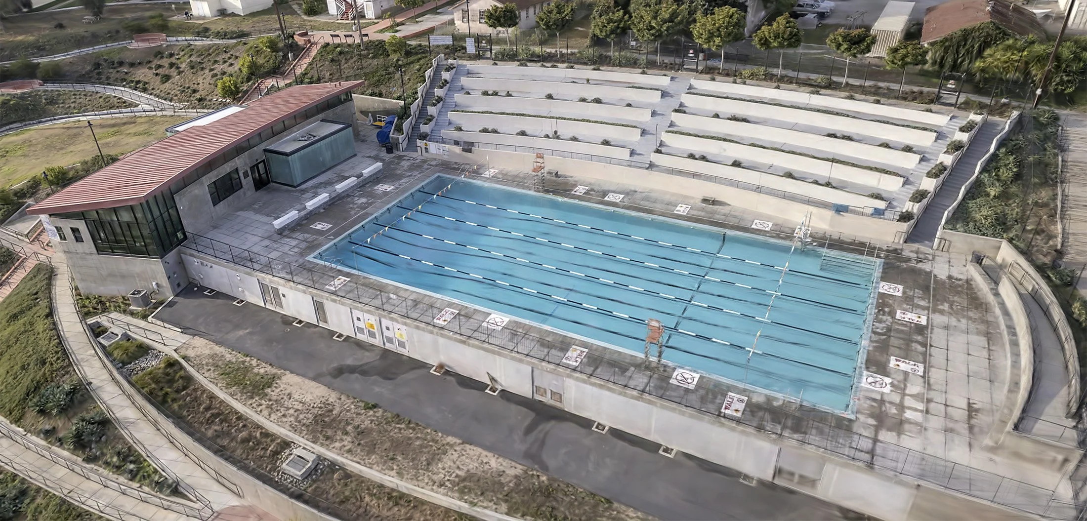
Capturing Our World
We capture high-resolution imagery to help tell the story of any location
What We Do
-

HIGH RESOLUTION MAPPING
-

PHOTOGRAPHY & MOTION CAPTURE
-
3D DIGITAL TWIN CREATION
-

PLANT HEALTH ASSESSMENT
Bringing more than 30 years of award-winning cinematography and photography experience to aerial imaging and remote sensing. We capture and generate insights for mapping and monitoring crops, conservation projects, construction sites and more.

3D models that connect the physical world to the digital world
