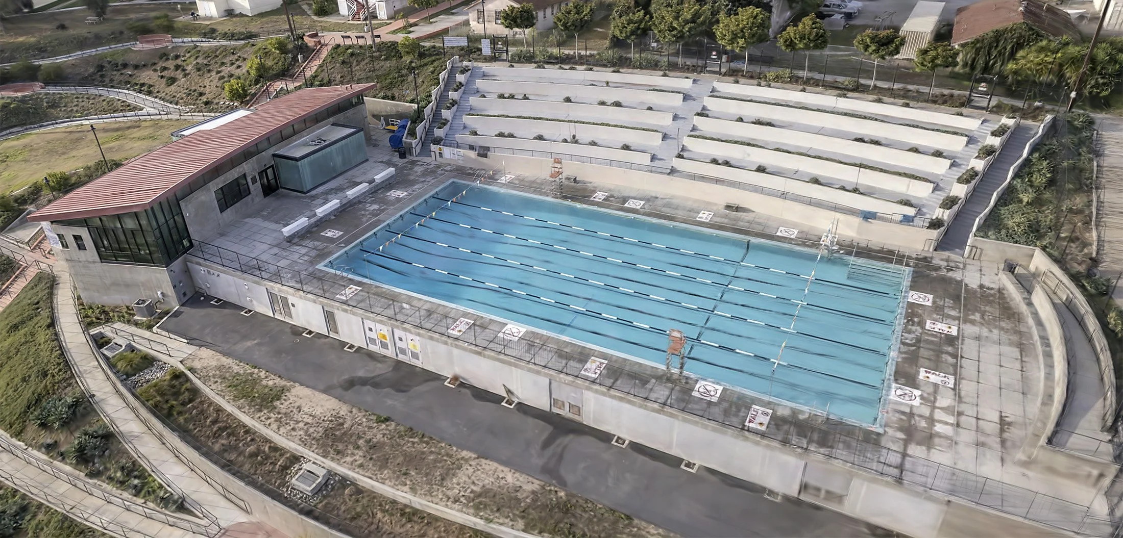
Capturing Our World
Using aerial images to tell the geographical story of any location
What We Do
-

HIGH RESOLUTION MAPPING
-

PHOTOGRAPHY & MOTION CAPTURE
-
3D DIGITAL TWIN CREATION
-

PLANT HEALTH ASSESSMENT
What Gets Monitored, Gets Managed
Bringing more than 30 years of award-winning cinematography and photography experience to aerial imaging and remote sensing. We capture and generate insights for mapping and monitoring crops, conservation projects, construction sites and more.
